Put a canoe on a canal and nobody asks a question. Put the same boat on a small river in Devon, Yorkshire or Powys and the answer gets murky fast. There is no single register you can check, no national permit, and no simple rule that covers every watercourse. What follows is the plain version of the legal position, plus a routine you can run through before you load the boat.
The starting point: no general right of navigation
In England and Wales, the public has a long-established right to navigate the sea and tidal waters. On inland waters that are not tidal, that right generally does not exist — unless an Act of Parliament created it, or it can be shown to have been used since time immemorial. Paddling bodies usually put the mileage with a clear public right at around two per cent of the rivers of England and Wales.
Two details catch people out. First, the Countryside and Rights of Way Act 2000 opened up access to mountains, moor, heath and down — not to water. A right to walk a bank is not a right to paddle the river beside it. Second, the riverbed is normally private. Riparian owners generally own the bed to the centre line of the channel, and navigation across that bed without permission is a civil trespass. The water itself is a different matter, but it is the land underneath that usually decides the argument.
Scotland works differently. Under the Land Reform (Scotland) Act 2003 there is a statutory right of responsible access to inland water. Wales sits within the same framework as England; there has been consultation and debate about reform, but for now the practical position on the water is broadly the same.
Where the right does exist
Tideways and tidal reaches
The clearest ground is anywhere the tide flows. If a river is tidal, the presumption is that the public may navigate it as far upstream as the tide is felt. The common name for it is the tideway, and the key word is felt: the ordinary tidal limit is often well above the point where a river starts to look salty, and well above where casual observers assume the boundary sits. The tidal Thames reaches Teddington, the tidal Trent runs up to Cromwell Lock, and the tidal Ouse to Naburn. Below those points you have a right to be there; above them, the picture changes completely.
Two cautions. Tidal water often means strong currents, shifting shoals, moored traffic and commercial vessels, and many estuaries fall under a harbour authority with its own byelaws and directions. Having a right to navigate does not make a spring tide on a big estuary a sensible first trip. Check the harbour authority's notices before you launch.
Statutory navigations
Some non-tidal rivers are navigable by right because statute — or a long-standing navigation authority — made them so. The non-tidal Thames, the Great Ouse, the Nene, the Soar, the Weaver and parts of the Severn and the Warwickshire Avon are examples. Most come with conditions: registration, byelaws, lock procedures and sometimes charges. The Environment Agency, the Canal & River Trust and the Broads Authority are the bodies you will deal with most often. Membership of a national paddling body usually carries a licence covering many of these waterways, but always check which ones it covers and what it does not.
Voluntary access agreements do most of the work
Where no right exists, agreements fill the gap. These are negotiated arrangements between paddlers and whoever holds the land — a farmer, an estate, a fishing club, a rivers trust or a water company. They vary enormously. A typical agreement might allow access between certain dates, outside the traditional close season for coarse fish on rivers, which runs from 15 March to 16 June, with a limit on group size and named launch and egress points.
Treat an agreement as what it is: permission, granted on terms, and capable of being withdrawn. A change of landowner or a difficult season can end one quietly. If you paddle a stretch covered by an agreement, keep to its dates, numbers and access points. Pushing the terms is the quickest way to lose the arrangement for everyone.
If you are challenged on the bank
Trespass in England and Wales is generally a civil matter rather than a criminal one, but that is a description of the law, not a strategy. A landowner can ask you to leave, and can in principle pursue damages or an injunction. Specific byelaws and statutes do create criminal offences on some waters, particularly statutory navigations, some fisheries and protected sites.
So the practical advice is simple. Be polite and brief, identify yourself, and move on if asked. Do not argue the law from the water — you will not win a landowner round, and you may hand ammunition to those who want access closed. Report the encounter afterwards to your national body or local access group, who can take it up properly. There is genuine legal uncertainty here; the courts have found in at least one case that a historic right of navigation had been lost through long disuse. "It was navigable in 1600" is not a plan.
How to check permissions before you launch
- Pin down the stretch. Note the put-in and take-out, and establish whether you are above or below the tidal limit. That one fact changes everything else.
- Check an access map. National paddling bodies publish access and paddle-point maps that flag agreements, launch points and known restrictions.
- Check the navigation authority. Environment Agency, Canal & River Trust, Broads Authority or a harbour authority. Do you need registration? Are there byelaws, closures or lock restrictions?
- Read the terms of any agreement. Dates, group size, close season, launch and egress points, and any level restrictions.
- Check river levels and weather. A stretch that is fine at a steady medium can be a sieve in spate or too shallow to float in summer.
- Look for site designations. Some rivers and their banks are protected for wildlife, and some carry angling byelaws. Keep off gravel redds in winter.
- Ask a local club. Ten minutes on the phone usually beats an hour of reading. Clubs know which landowner is friendly this year.
- Remember the bank. Even with a right on the water, the path to it may cross private land. Use established access points.
Paddling well keeps access open
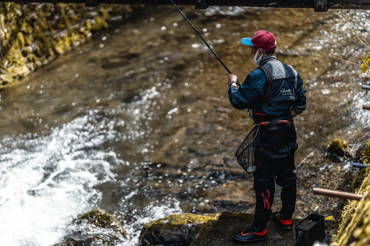
Most access in England and Wales depends on goodwill, and goodwill is easier to lose than to rebuild. Launch and land quietly, park where you are asked to, close gates, take your litter and anything you find, and give anglers a wide berth — a cheery hello and a slow pass does more for access than any campaign. If a stretch has a level gauge or a fixed access point, use it rather than scrambling down a bank and eroding it.
Before you go anywhere unfamiliar, do the five-minute check: tidal or not, who the navigation authority is, whether an agreement applies and what it says, what the river is doing, and who to call if it goes wrong. That habit, rather than any single rule, is what keeps paddlers on the water. This is general guidance and not legal advice; if you are planning something contentious or commercial, take proper advice.
Photo: El Capra / Pexels